

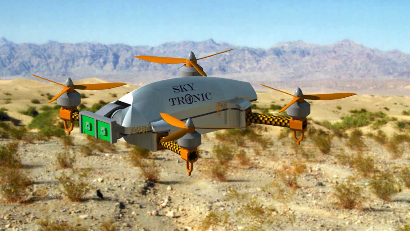
Sky Tronic and Budimex collaborate on development of drone for monitoring of construction space in 3D
Sky Tronic collaborates with Budimex on development and tests of autonomous drone, 3D Flight Explorer FLC to enable monitoring the construction site and the spatial analysis of engineering objects in 3D using more efficient computing power of octrees. The project was recommended for 0.5 mln USD of European Union funding in Smart Growth programme organized by National Centre of Research & Development in Poland.
The effect of the collaboration with Budimex will be autonomous Unmanned Aerial Vehicle or quadrocopter, which precisely maps the elements of full construction space using 3D technology in real time with marginalization of pilot-operator’s role. The system will be integral part of the drone to enable geodets monitoring of progress in construction works and inspections of engineering objects.
We are looking forward to collaboration with corporate, Budimex Group to test the drone solving the needs of our partner for quick photogrammetry calculations directly on construction site with smaller camera. The R&D works include development of intelligent fuzzy logic stabilisation system „SkyNav FLC”, which will enable safe flight in difficult and dangerous conditions, such as strong gust of winds, turbulences close to buildings up to 2 meters or difficult access to buildings as the system will decrease the vibrations of the drone by 15%. Our team will develop its own electronic measurement system – the visual system for identification and mapping of 3D space of the terrain for collision avoidance system. We also have the prototype of ultrasound collision avoidance system that measures the distances between objects faster and more precise using modulated ultrasound voice wave exactly like a bat moves. The system differentiates each coded wave so it enables sending many signals at the same time and the recognition of returning signals. Sky Tronic will also develop intelligent route optimisation and schedule planning algorithms for autonomous flight. – commented Michal Lower, PhD, Product Development Director at Sky Tronic.
The generated 3D image will enable fast and precise calculation of solid figures parameters as free space, volume and edges of occupied space, land mass, elements of construction objects, roads, bridges, differences in volume of industrial objects. The virtual 3D space with the use of representation of octrees is very efficient and use less computational data that will decrease the costs of calculations and save time by 20% in comparison to traditional cloud of points.
An octree is a tree data structure in which each internal node has exactly eight children. Octrees are most often used to partition a three-dimensional space by recursively subdividing it into eight octants. Octrees are the three-dimensional analog of quadtrees. Octrees are often used in 3D graphics and 3D game engines and not yet commercially available in photogrammetry.
The created 3D map of terrain with octrees will be used for navigation and collision avoidance system on the autonomous flight route and setting alternative routes. GPS RTK positioning system will enable precise navigation and landing of Unmanned Aerial Vehicle up to 2 cm without setting the intermediate photo points and decreasing preparation time up to 50%.
In case of the construction process, the technology can be used in each stage – from design stage to approval of construction works of the buildings. With the use of octrees it can be possible the digitalization of construction site and developing of editable models of solid figures for geodesy and cartography. The developed system is the answer on the increasing interest in structural monitoring of engineering objects and construction sites.
The system of modelling in 3D we are collaborating with Sky Tronic will be useful in optimisation of construction processes. The role of this system will be fast and precise registering the structural objects as a brand new service. The autonomous flight of unmanned platform and automated photogrammetry calculations can improve geodesy works and decrease the time of generating of spatial models of terrain for planned investments. New system for modelling and monitoring of land development can assist the recognition of edges of roads, heaps, slopes or buildings and processing of data collected from the photogrammetry flight of drone. We plan to use 3D Flight Explorer for cyclical monitoring of construction terrains and supplies on the construction sites. Due to the solution it will be easier to control the full range of construction works by manager without the pilot-operator directly on the construction site and the progress in development of construction investments. – commented Przemyslaw Kusmierczyk, The Head of Innovations Team at Budimex SA
Sky Tronic is advanced technologies and “spin-off” company established by researchers of Wrocław University of Science and Technology, graduates of Wrocław University of Economics and the Institute of Technology Transfer – the company managing the intellectual property of Wrocław University of Science and Technology. The company specializes in designing and producing Unmanned Aerial Vehicles (drones) based on our fuzzy logic controller systems for novel autonomous UAV steering and stabilizing. Our fuzzy logic navigation systems should improve the safety and stability of UAV flights in difficult weather and terrain conditions and are dedicated to global UAV producers. The fuzzy logic rules are determined by the pilot-in-command to observe, steer the flying object more precisely as human does and accommodate unpredictable events such as strong gust of wind in the moutains or dropping the cargo. More info: www.skytronic.com.pl
***
Budimex Group is one of the largest construction groups operating in Poland. It has also been recognised and respected abroad for many years now. The origins of our business date back to 1968, when the Centrala Handlu Zagranicznego Budownictwa Budimex (Budimex Construction Industry Foreign Trade Centre) was established.Currently, Budimex, as an infrastructure and service enterprise, focuses on the Polish market. As a general contractor, we offer services in the infrastructure sector, including: roads, railway, airports, commercial buildings, energy, industry and ecology. Budimex is gradually increasing our involvement in the facility management (servicing real estate and infrastructure facilities) and waste management sector.
The company owes each success to the people who form it. With highly qualified personnel, Budimex offers services perfectly tailored to the needs of our customers. The operations are driven by the concept of sustainable development. It is committed to integrating corporate social responsibility into all the business processes at Budimex. Since 1995, Budimex has been listed on the Warsaw Stock Exchange. Since 2011, it has been a part of the RESPECT index, which includes the most responsible listed companies. The strong market position of Budimex is further demonstrated and reinforced by the purchase of the company’s shares by one of the largest construction companies in the world – Ferrovial from Spain. Since 2000, this Spanish company has been acting as our strategic investor, holding the controlling stake in Budimex. Ferrovial’s potential, its market position and know-how support our competitive advantage. Budimex Group employs almost 5,000 employees and cooperates annually with 12,000 business partners, completing over 100 contracts a year. More info: www.budimex.pl
Contact: BUDIMEX SA, Krzysztof Koziol, Director of Public Relations
tel. (22) 62 36 164, +48 605 557 101, fax: (22) 62 36 014, email: krzysztof.koziol@budimex.pl